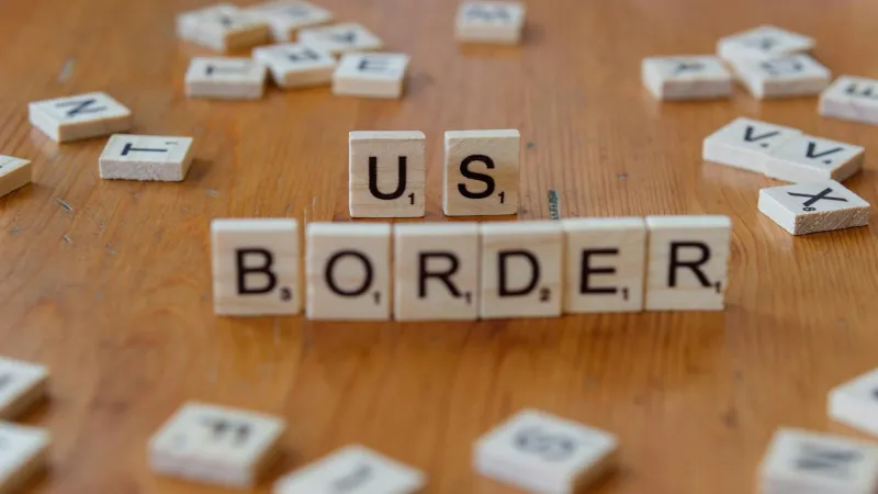
The Neighborhood That Lived in No Man's Land for 73 Years Without Knowing It
When Your Address Doesn't Exist on Any Map
Imagine waking up one morning to discover that your house, your street, and your entire neighborhood technically don't belong to any country. For the residents of a small community straddling the US-Canada border, this wasn't a hypothetical scenario—it was their reality for nearly three-quarters of a century.
In 1873, a team of surveyors working to establish the official boundary between Washington State and British Columbia made what seemed like a minor error. They miscalculated the border by roughly 400 feet, creating a narrow strip of land about half a mile long that existed in a legal vacuum. This sliver of territory—containing several homes, a general store, and part of a main road—belonged to neither country.
Life in Legal Limbo
The most remarkable thing about this geographical anomaly wasn't the bureaucratic mistake itself, but how utterly normal life remained for the people living there. Families raised children, ran businesses, paid taxes (to both countries, as it turned out), and participated in local elections without anyone questioning their citizenship status.
The residents went about their daily routines: kids walked to school, mail was delivered, and the local store sold groceries to customers from both sides of the border. When asked about their nationality, they simply identified as American or Canadian based on which side of the "border" they thought they lived on.
Meanwhile, both governments collected property taxes from these residents. The Americans taxed them as US citizens, while the Canadians did the same from their end. Nobody questioned the double taxation because nobody realized what was happening.
The Discovery That Changed Everything
The truth finally emerged in 1946 when a land developer wanted to build new homes in the area. During the permitting process, a sharp-eyed clerk noticed discrepancies between the American and Canadian survey maps. When officials investigated, they discovered the 73-year-old mistake.
Suddenly, families who had lived in the same houses for generations found themselves in an impossible situation. Were they American? Canadian? Neither? The legal implications were staggering: marriages performed there might not be valid, property ownership was questionable, and children born in the zone had unclear citizenship status.
Bureaucratic Chaos Meets Small-Town Reality
Both governments scrambled to figure out what to do. The solution seemed simple enough—just redraw the border to match the original survey. But decades of life had happened in that disputed strip. People had built additions to their homes, established businesses, and created a small community.
The residents, meanwhile, took the news with remarkable calm. After all, they'd been living perfectly normal lives in this legal gray zone for decades without any problems. Why should a line on a map change anything now?
One longtime resident told reporters, "I've been paying taxes to both countries for forty years. I figured that just made me extra patriotic."
The Resolution Nobody Saw Coming
Rather than forcing people to relocate or demolish buildings that crossed the "real" border, both governments decided to adjust the boundary to match reality. The official border was redrawn to accommodate the existing community, essentially legalizing 73 years of accidental international living.
The process took another three years to complete, involving mountains of paperwork, congressional approval, and diplomatic negotiations between two countries over a strip of land smaller than most shopping mall parking lots.
When Bureaucracy Meets Human Nature
This story reveals something fascinating about how little formal borders matter in daily life. These families proved that you don't need official government recognition to build a functioning community. They created their own informal systems, solved their own problems, and maintained order without any clear legal framework.
The incident also highlighted how surveying technology from the 1870s could create problems that lasted well into the modern era. What seemed like a small technical error became a decades-long experiment in stateless living.
Today, the area is firmly within US territory, and the whole episode has become local folklore. But for 73 years, a small group of Americans and Canadians proved that sometimes the most important borders aren't the ones drawn on maps—they're the ones we create in our daily lives with our neighbors, regardless of what any government says about where we're supposed to belong.