The federal government has lost land disputes before. It's lost them to Native nations asserting treaty rights, to states pushing back on federal overreach, to corporations with armies of lawyers and decades of patience. These are serious, complicated, well-documented fights.
It has also, on at least one occasion, lost a land dispute because a surveyor drew a map on a dinner napkin, someone kept the napkin, and a judge decided that counted.
This is that story.
Dinner in Colorado, Circa 1908
The rancher's name was Thomas Aldridge Voss. He ran cattle on a substantial spread in western Colorado, in terrain that was beautiful in the way that makes photographers happy and ranchers nervous — all dramatic elevation and unpredictable weather and boundaries that were genuinely difficult to establish with precision.
The federal government had been pushing into the region aggressively in the early 1900s, designating land for national forest and public use under the broad authority of the 1891 Forest Reserve Act and its successors. This was the era of Theodore Roosevelt and Gifford Pinchot, when Washington was drawing lines around vast swaths of western land and telling private landholders that the lines didn't include them.
For Thomas Voss, the problem was specific: a federal land surveyor named Howard Pruett had drawn a boundary line that Voss believed cut directly through land his family had been using and improving for nearly twenty years. The official maps, Voss argued, were wrong.
Pruett came out to look. The two men argued. Then, apparently deciding that the argument would go better with food, they went to dinner at a hotel in the nearest town.
The Napkin
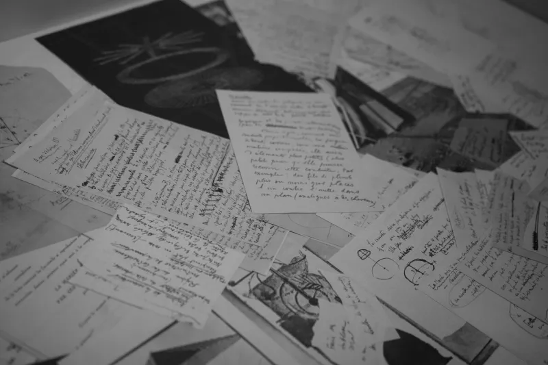
What happened over dinner is a matter of historical inference, because the only written record of the conversation is the napkin itself.
At some point during the meal, Howard Pruett — whether out of genuine conviction, professional carelessness, or the particular looseness that comes with a good meal and possibly some whiskey — took a paper dinner napkin and sketched a revised boundary line. The sketch showed a specific creek as the eastern boundary of the federal claim, which would have placed a substantial section of contested grazing land on the Voss side of the line.
Pruett signed it. Voss kept it.
Whether Pruett ever filed a formal correction to the official survey records is unclear. What's clear is that the official maps were never updated to reflect the napkin's boundary. The federal government proceeded on the basis of the original survey. The land in question was eventually incorporated into what became a federally protected area in the 1920s.
Voss complained. His son complained. The complaints went nowhere. The napkin sat in a box.
The Estate Sale Discovery
In 1961, Thomas Voss's grandson — a Denver accountant named Robert Voss — was sorting through his late father's belongings when he found the box. Inside, wrapped in a piece of cloth with the careful attention of someone who knew it mattered, was the napkin.
It was fragile. It was yellowed. The ink had faded to the point where the sketch required a magnifying glass to interpret clearly. But it was legible, it was signed, and it was, Robert's lawyer argued, a binding agreement between a private landowner and a duly authorized federal agent acting in his official capacity.
The legal argument was not simple. It rested on a body of western land law that treated informal agreements between federal surveyors and private parties with more weight than you might expect, largely because informal agreements had been how a significant portion of the West's land boundaries got established in the first place. Early surveying was imprecise, resources were thin, and surveyors frequently made field adjustments that never made it back to the official record.
The Court Case That Shouldn't Have Worked
The federal government's response, when Robert Voss filed suit in the early 1960s, was essentially: you cannot be serious.
And yet the case moved forward. It wound through federal district court, attracted attention from western land-rights advocates and legal historians, and produced a ruling that surprised nearly everyone involved.
The court found that Pruett had indeed been acting within the scope of his surveying authority when he made the boundary adjustment, that the napkin constituted a documented record of that adjustment, and that the Voss family had a legitimate claim to the acreage described — somewhere between two and four thousand acres, depending on how the creek boundary was interpreted.
The government appealed. The appeals court narrowed the ruling somewhat, reducing the acreage in question, but upheld the core finding: the napkin was a valid instrument.
In the end, the federal government did what governments do when they've lost a land dispute and the land in question is already protected parkland: they negotiated a buyback. Robert Voss received a settlement that, by most accounts, was considerably more than the land's agricultural value. The exact figure was never made fully public.
What the Whole Mess Revealed
The Voss napkin case — it was never given a catchier name, unfortunately — became a minor landmark in federal land law, cited occasionally in academic papers about the chaotic state of early western land recordkeeping.
And that's really the story underneath the story. The napkin wasn't an anomaly. It was a symptom. The early 20th century push to establish federal land boundaries in the American West was done fast, with limited personnel, inconsistent record systems, and surveyors who sometimes made decisions in the field that never found their way into any official file.
How many other napkins are out there? How many dinner-table agreements, handshake deals, and field sketches are sitting in estate sale boxes waiting for someone curious enough to look?
The federal government, to its credit, has spent decades improving land records systems. Modern boundary disputes are adjudicated with GPS coordinates, satellite imaging, and digital archives.
But somewhere in western Colorado, there are thousands of acres of protected federal land that the government had to buy back from a Denver accountant because his grandfather kept a dinner napkin.
Oddly legit.